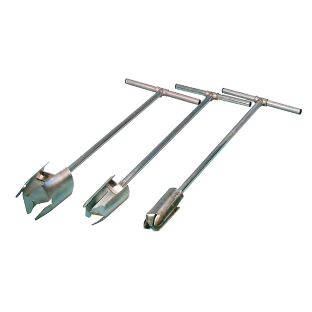
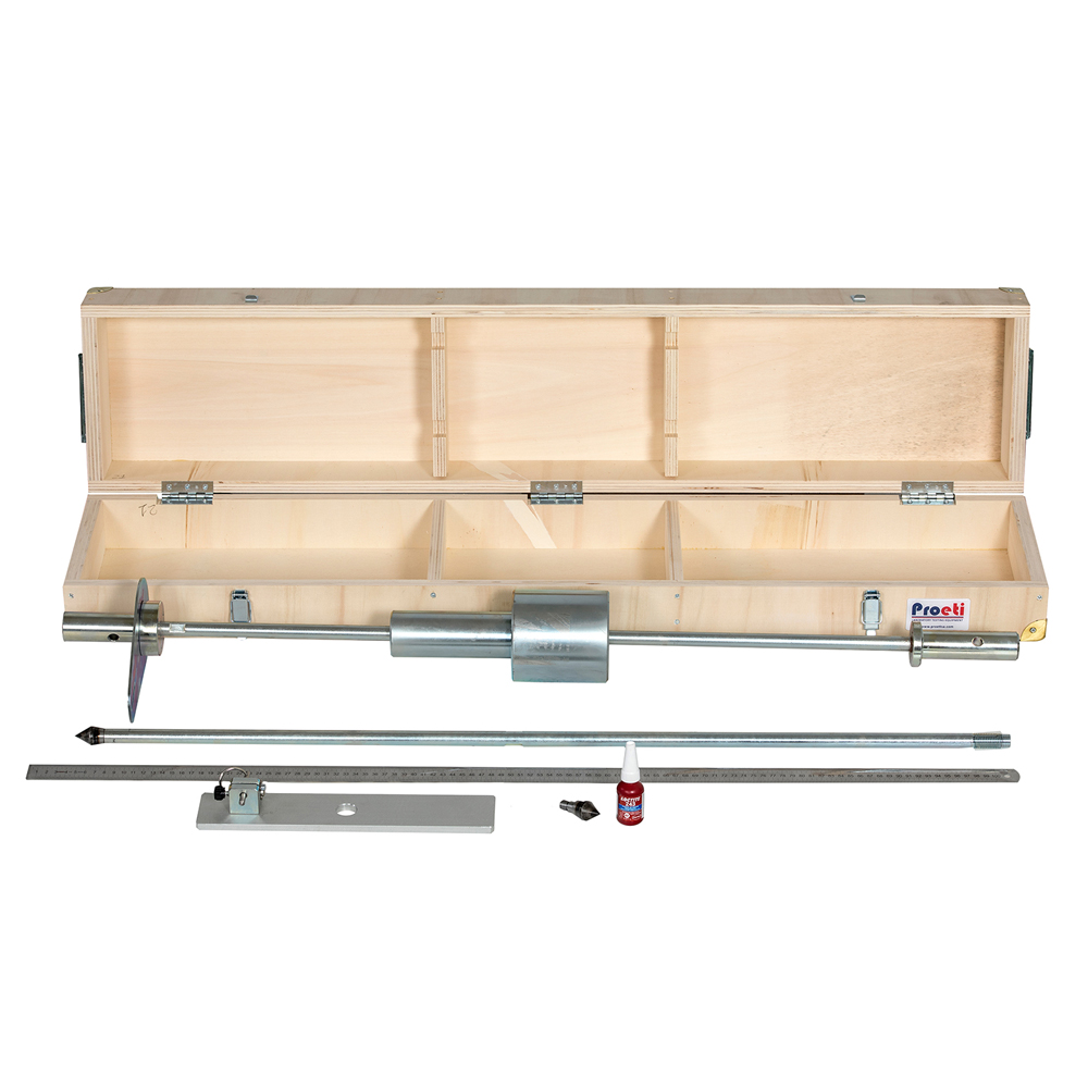
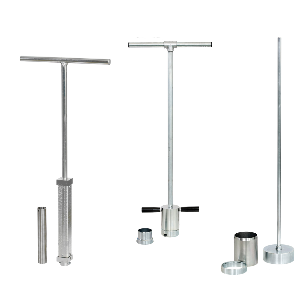
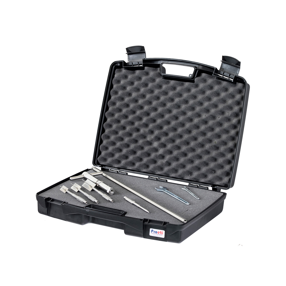
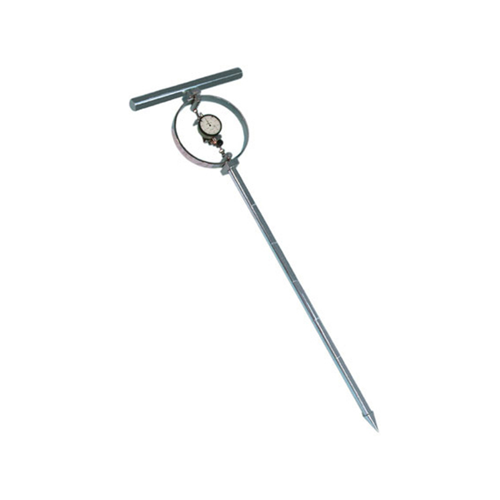
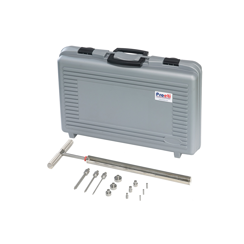
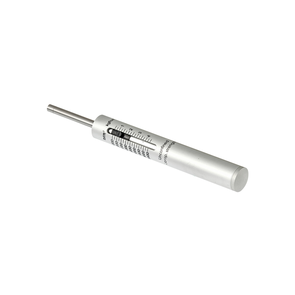
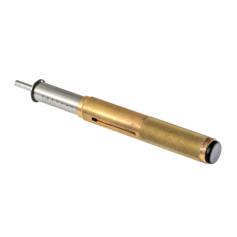
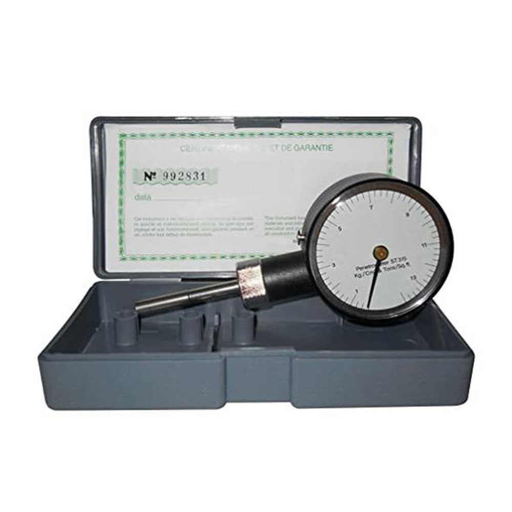
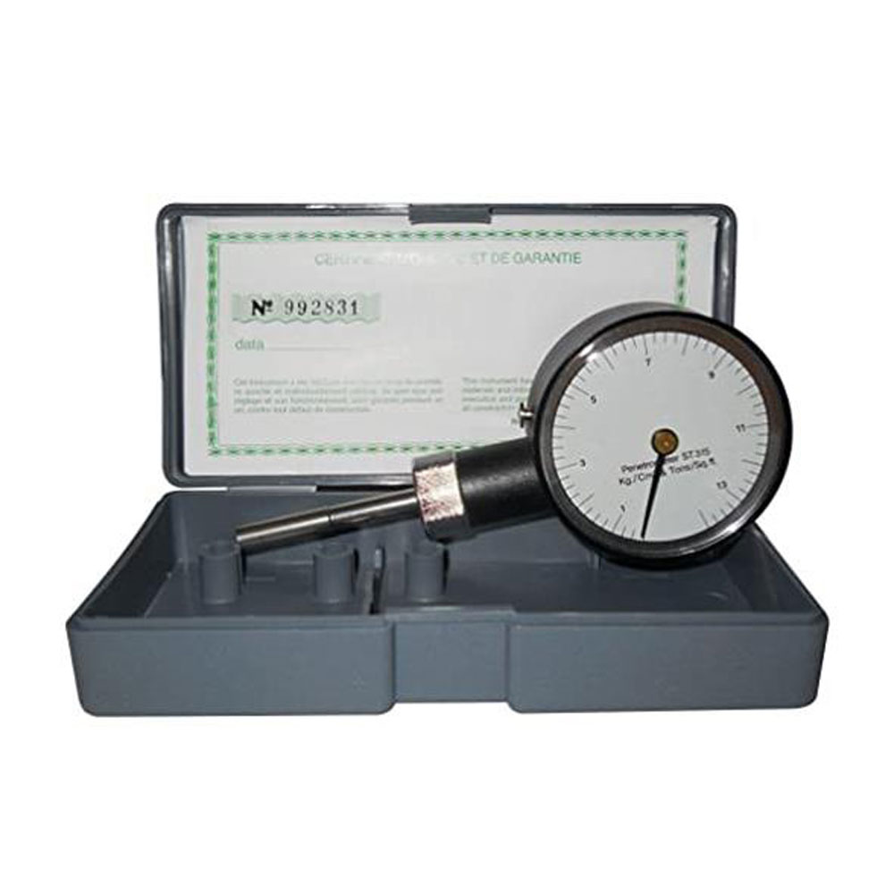
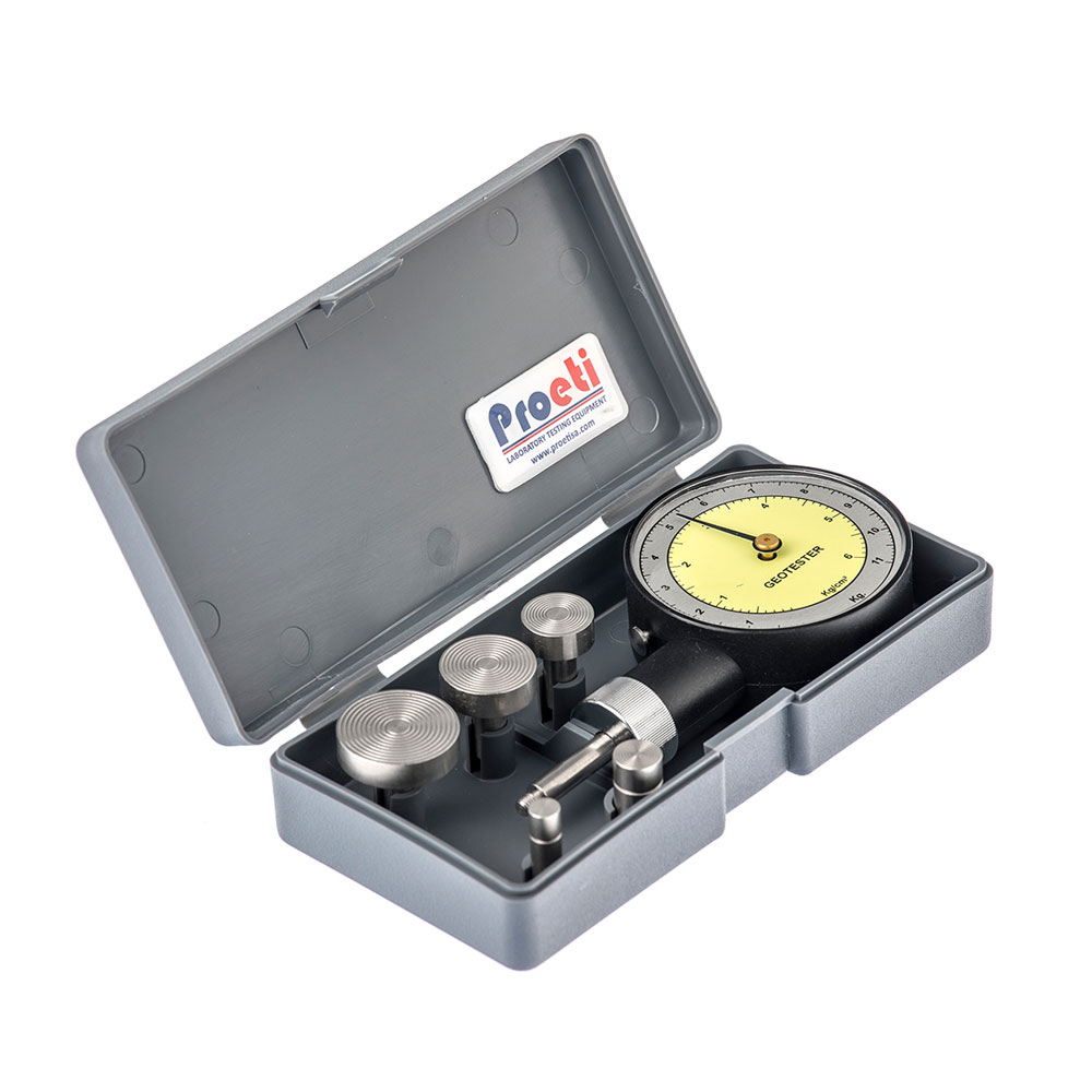
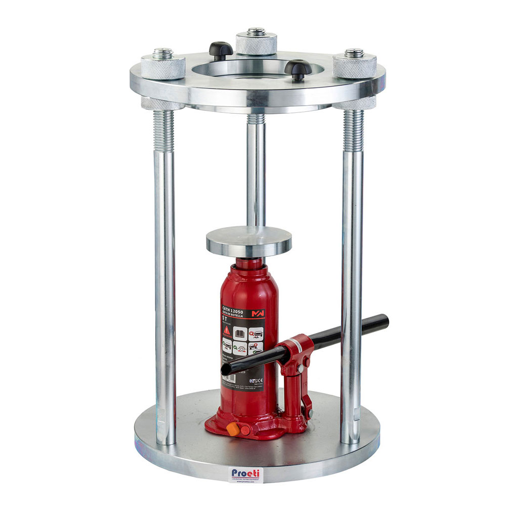
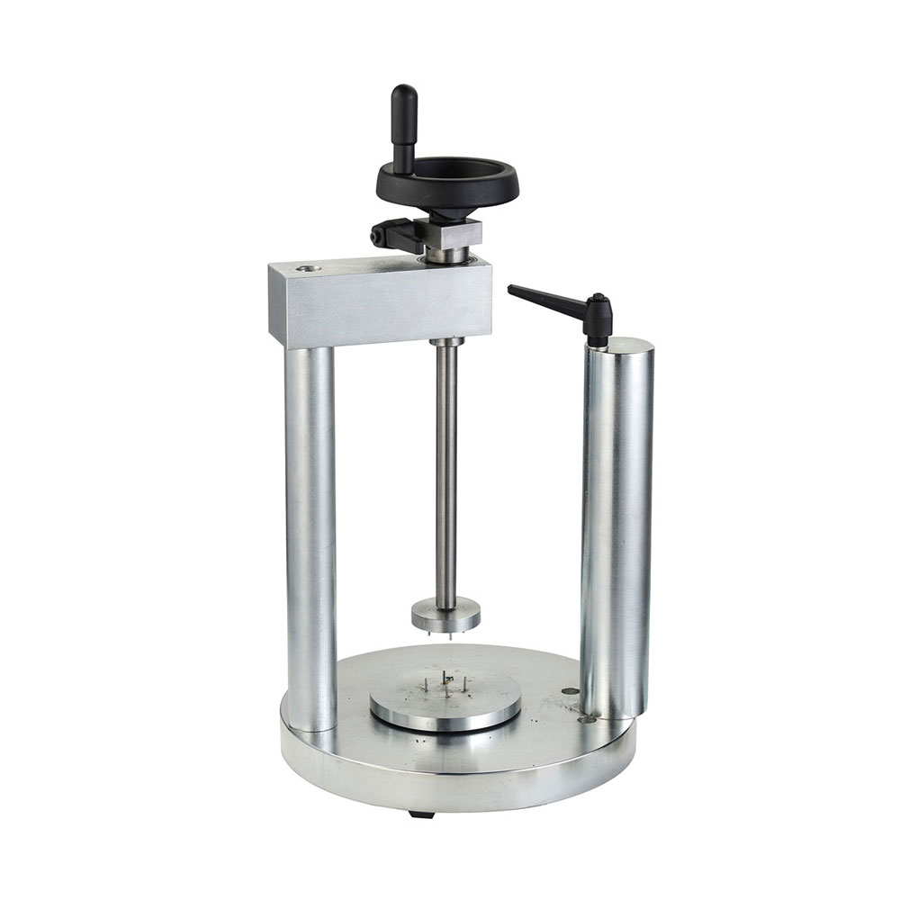
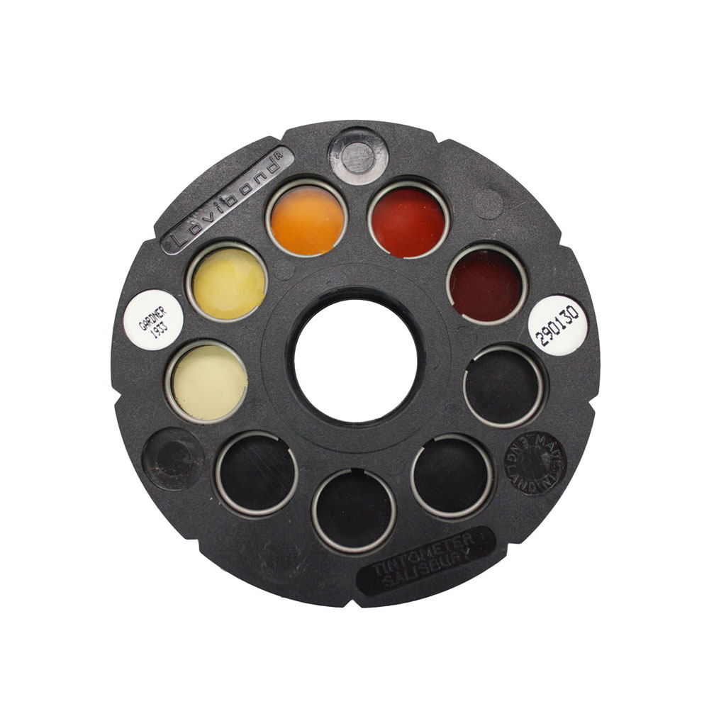
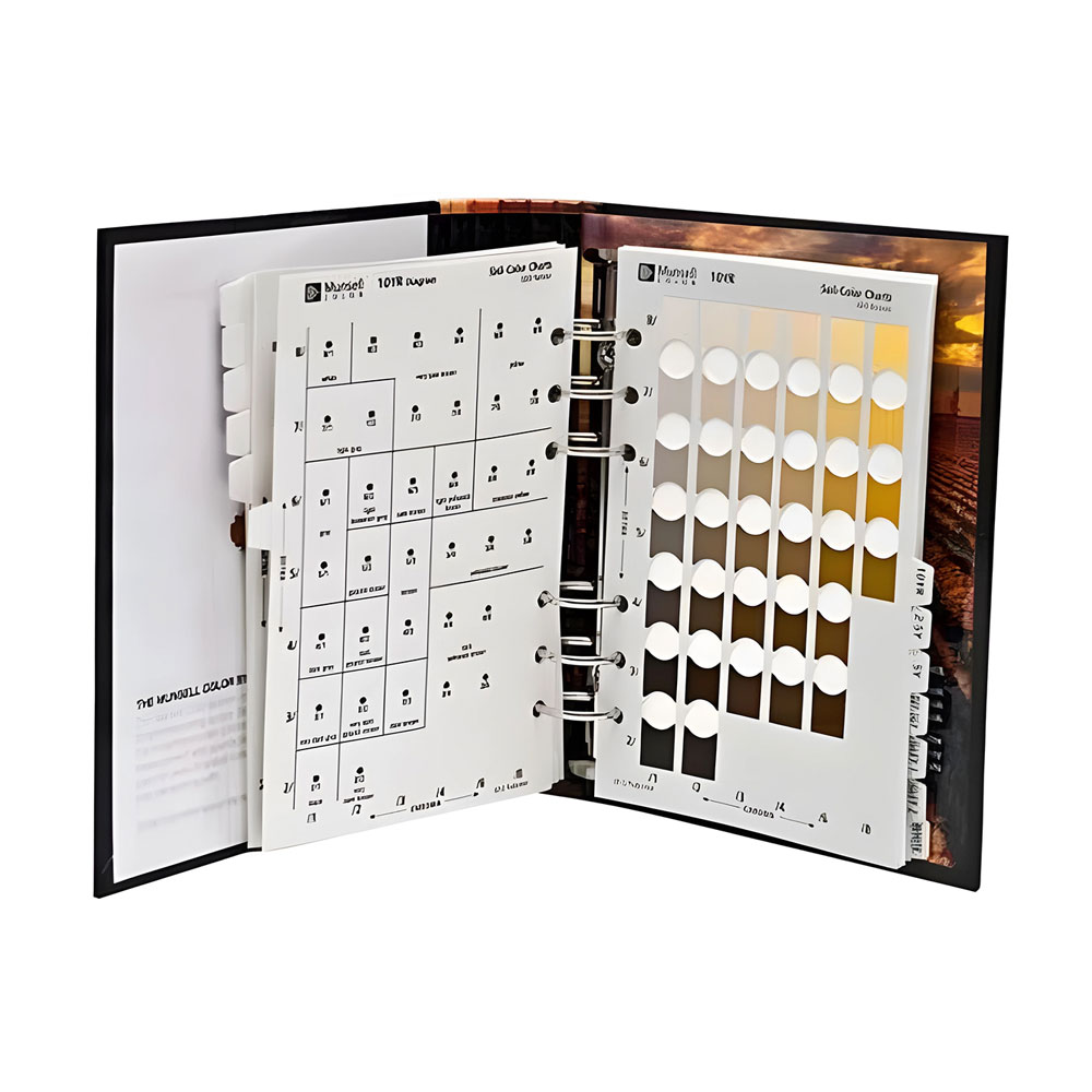
The first visit to site is made with an auger, a pocket penetrometer and a colour chart: that is how the layers are described and samples taken for the laboratory. Every site investigation starts with this soil sampling equipment, together with the dynamic cone penetrometer, samplers, the sample extruder and the colorimeter for organic matter. Ask us for a price on the full field kit.
| Purpose | Equipment | Standard |
|---|---|---|
| Boring and sampling | 1 m augers with T-handle and samplers | ASTM D1452, AASHTO T86 |
| Strength of cohesive soils | Pocket penetrometer (0-4.5 kgf/cm²), with ball or Geopocket | ASTM D2573 |
| Bearing capacity of pavement layers | Dynamic cone penetrometer (DCP), correlates with CBR | ASTM D6951 |
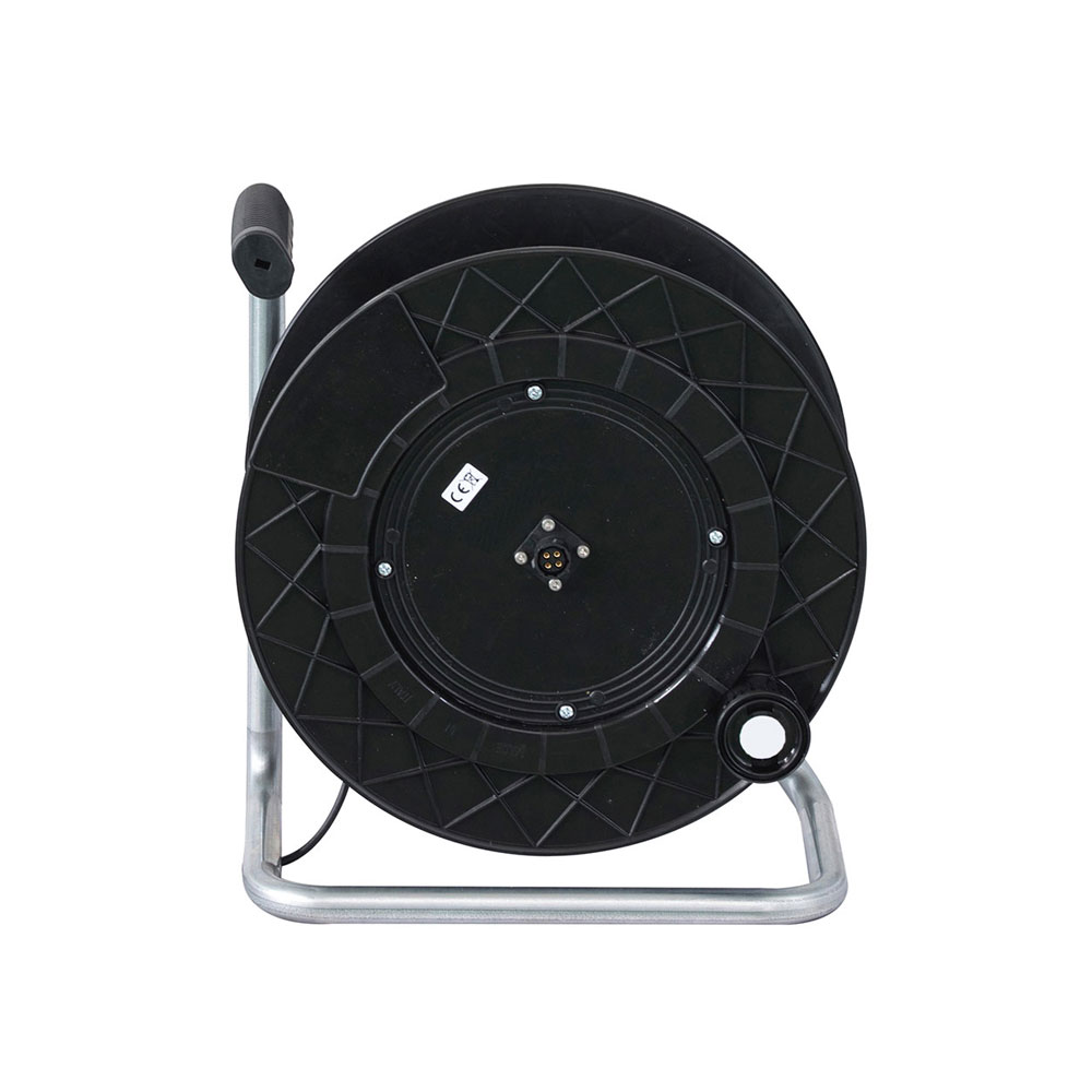
| Groundwater level | Water level indicator | — |
| Extruding the sample from mould or tube | Hydraulic universal extruder (Ø4″ and 6″) and soil lathe | — |
| Soil colour | Soil colour chart | — |
| Organic matter | Colorimeter with five reference scales | ASTM C40 |
For each layer, the soil type (gravel, sand, silt, clay), its colour, moisture, consistency or density, and any organic remains, roots or water are recorded. The pocket penetrometer gives a quick idea of the strength of clays, and the samples go to the laboratory for particle size and Atterberg limits, which are what allow the soil to be classified.
To get a price, click Budget on each product page and send one request with everything you need. If you would rather talk to us, write to us or call +34 916 28 29 40.
By its particle size distribution and its plasticity. The Unified Soil Classification System (USCS, or Casagrande system) uses two letters, such as GW or CL: the first says whether it is gravel, sand, silt or clay, and the second its grading or plasticity. For roads, the AASHTO classification is also used, with groups A-1 to A-7.
The Spanish PG-3 road specification (article 330) places soils for embankments and formations in five categories: selected, adequate, tolerable, marginal and unsuitable. The category depends on particle size, Atterberg limits, organic matter, soluble salts, gypsum and swelling or collapse.
Investigating the ground with trial pits, boreholes and penetration tests to find out the layers, the groundwater level and their strength, and taking samples for the laboratory. Its scope depends on the type of building and ground; in Spain, it is set by the Building Technical Code.
Because it decomposes over time, making the soil compress and lose strength, and in aggregates and sands it delays the setting of cement. A soil with a lot of organic matter is not suitable for an embankment or for supporting a foundation.
The samples are then tested with the equipment in particle and property analysis.